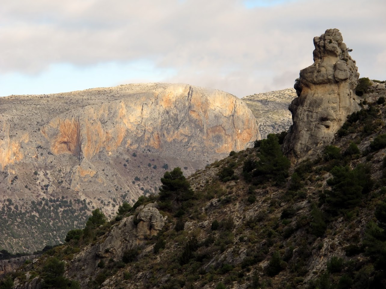
Barranco de la Hoya-La Pandera
Routes
7 hours.
The start is at Km 14 of the road from Jaén to the Quiebrajano Reservoir, next to the so-called Casa del Pintor (house with environmentalist graffiti on the walls), in the vicinity of the road junction between the Cañada de las Azadillas and the Embalse del Bankrupt.
Program
We take a track that climbs the Estoril ravine and after leaving a huge rocky shelter on our left, in which there are curious prehistoric engravings with geometric shapes, we come out to a valley dominated by the Otiñar castle. There, a path emerges that, after entering a narrow gorge, climbs with a steep slope throughout the Hoya del Caño ravine. We ignore all the detours to the left and right and we will pass by the Bishop's fountain. After a very hard climb in some sections, the path, which runs almost all the time on the right side of the ravine in the direction of the ascent, we are in the Llanos de las Navas, a beautiful enclave at more than 1500 m high where it alternates the lush pine forest with fresh meadows. In winter it is not uncommon to find them snowy. To get here we will need about three hours and a lot of physical effort.
The plains are sloping towards the slope of the Pandera, which we have in front of us. In the upper area, in its eastern part, there is a cave hidden by a huge rock in front of its entrance. Right at the top of this cave, which serves as a refuge for shepherds and mountaineers, a path begins that, through a rocky high mountain terrain, will lead us in an hour and a half more to the summits of Pandera. The path, which should be located taking the cave as a reference, is clearly marked at the beginning, as it passes through scrubland, but we will have to pay attention not to lose it as we gain height. On days with poor visibility or bad weather it is risky to venture to the summit. We will end in a valley that forms between the Peña del Altar (1809 m) on our left, and the top of La Pandera (1870 m) on our right. Along with this last summit there are some old military installations. In the Peña del Altar we will see two small buildings: a fire watch hut and a small open shelter that is used by mountaineers to spend the night. The views from the Peña del Altar are spectacular. Its rocky cliffs collapse towards the Quiebrajano. We are at the highest point in the entire Sierra Sur de Jaén. Much of the province of Jaén and Granada can be seen from here. The countryside and the Guadalquivir Valley behind the Sierra de Jabalcuz to the north, the peaks of Sierra Mágina and the Sierras de Cazorla, Segura and Las Villas to the east and to the south and west the entire Betic mountainous system, with the backdrop of the Sierra Nevada mountain range.
The descent will have to be done by retracing our steps. In winter time you will have to be careful with the slippery frozen snow fields that we can find in this shady area. There is the alternative that the end of the route is made towards the road from Los Villares to Valdepeñas, in the area known as Arroyo Frío, which will require coordination with a second vehicle that would be left in this area previously. In any case, it is a route that requires practice in orientation, since up to the aforementioned point there would still be several kilometers of trails to travel, recommending where appropriate the use of cartography, and even current orientation systems with navigator and / or GPS. . This section, in reverse, is explained in more detail in the Sierra Sur section, clicking on the Puerto de la Hoya trail.


