


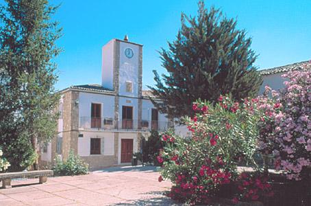
Santo Tomé
Santo Tomé is located right in the heart of the Sierra de Cazorla.
Information
Tourist area Sierras de Cazorla, Segura y las Villas
Distance to the capital (km) 96
Altitude above sea level (m) 458
Extensión (Km2): 73
No. of Inhabitants 2462
Demonym Tomeseños
Postal Code :23311
Santo Tomé is located right in the heart of the Sierra de Cazorla. The Borosa river marks the western boundary of the township, right in the Sierras de Cazorla, Segura y las Villas Natural Park. Next to the river is an interpretation centre and a fish farm. The houses of Santo Tomé huddle around the old tower of the castle which gave rise to the town, in a location divided between the calm of the countryside and the fertility of the mountains. Santo Tomé sits on top of a ridge looking over the valley of the high Guadalquivir river, with the municipal area entering within the boundary of the Natural Park. The village of Las Ericas and the Borosa river are some of the area’s exceptionally beautiful places, and the town is an ideal departure point for trekking.
A highlight of the town’s architectural heritage is the bell tower of the Iglesia de Santo Tomé Apostol (Church of Saint Thomas the Apostle), built in the 14th century, which was originally a defensive tower of Arabic origin.
Source of information


