


Poyos de la Mesa Hiking Route
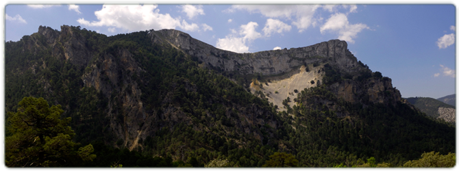
Navas are extremely fertile stretches of land located at a certain altitude and which have, since time immemorial, been used by residents of the mountains for grazing their livestock or planting crops. The first of these, which you can reach via the JF-7091 (a provincial road, the first section of which is asphalted before later becoming a dirt track), is known as the Nava del Espino and marks the beginning of this route. The trail begins next to the ruins of a forest house that once bore the same name as the nava. The trail consists of a narrow dirt track all the way to the end, and it is closed to private vehicles. It passes through a stunning forest of Corsican pine and wide expanses of pasture, gradually snaking its way upwards along the slopes of the peak of Los Poyos de la Mesa.
DIFFICULTY. ASSESSMENT ACCORDING TO METHOD MEASURE
0
MEDIO.
Severity of the natural environment
0
Itinerary
Orientation in the itinerary
0
Displacement
Difficulty moving
0
EFFORT.
Amount of effort required
MUNICIPAL TERMS BY WHICH IT RUNS
Cazorla Sierra de CazorlaFollow us #JaénParaísoInterior


