


Despiernacaballos Forest Trail
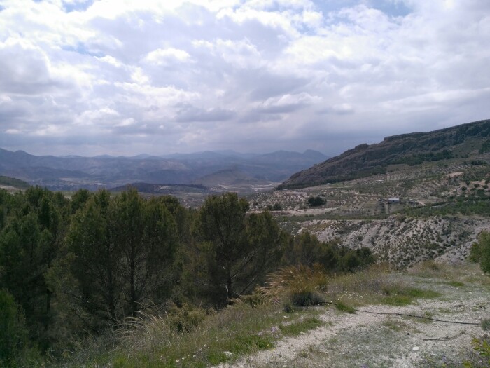
This highly scenic route encompasses two neighbouring yet very different areas: the highlands of Pontones and Segura valley. While descending along the trail you will enjoy beautiful views of the River Segura and the mountains and crags that accompany it downstream to where it flows into Las Anchuricas reservoir. You can follow this route on foot or by car, although a mountain bike is the ideal option.
The first section is almost totally flat, and stays that way until you reach the hill known as Collado de Los Ruejos, where another path (not part of this route) leads off towards the right. Up to this point the plant life consists mostly of shrubs, with some areas of replanted pine woodland. The trail now descends gently until it runs almost parallel to the Cañada Hermosa stream; it then continues on to Despiernacaballos, the enormous limestone rock face that gives this route its name.
From here on you will be hiking through a dense forest of European black pine. The trail leads on in a series of curves that ensure the descent is not too steep. While descending you will be able to enjoy the view of the impressive mountains that flank the River Segura: the Cerro del Garmonal and Picón del Tesoro to your right and the Calar del Pino straight ahead, on the other side of the river.
Throughout this route’s 11 kilometres you will also be able to appreciate the great contrast between the two areas it traverses: the highlands appear flat and bare, while near the hamlet of La Toba in the Segura valley there are a great number of trees and a variety of different streams that nourish the hamlet’s orchards and vegetable gardens.
DIFFICULTY. ASSESSMENT ACCORDING TO METHOD MEASURE
0
MEDIO.
Severity of the natural environment
0
Itinerary
Orientation in the itinerary
0
Displacement
Difficulty moving
0
EFFORT.
Amount of effort required
MUNICIPAL TERMS BY WHICH IT RUNS
Santiago Pontones Sierra de SeguraFollow us #JaénParaísoInterior


